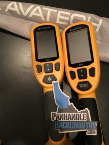
TGR recently held safety week and Avatech presented some of there new technology for snow professionals but they also have a new product that is designed to bridge the gap between recreationalists and the pros.
It's a smart phone app called "Avanet". The app allows the user to view multiple types of data georeferenced to show current conditions fellow users are experiencing. Example: you are skiing backcountry outside of lookout pass and you see an recent Avalanche and/or heard snow collapsing below your feet, you could take a photo tag the location you saw the incident and share it with the community of IPAC forecasters, skiing buddies,...?
The app is free and has man other useful map functions for recording vert, distance,...
Here is a brief video:
http://www.tetongravity.com/video/gear-tech/avatechthe-crowd-sourced-technology-thats-changing-the-backcountry